SEE THROUGHTHE EARTH
Revolutionary satellite-based Atomic Mineral Resonance Tomography technology that detects underground minerals, oil, and gas deposits with NASA-level precision—without ever touching the ground.
ATOMIC MINERAL RESONANCE TOMOGRAPHY
Every mineral element possesses a unique atomic resonance frequency. Our AMRT technology detects these signatures from space, creating detailed subsurface maps without environmental impact.
Underground Layer Detection
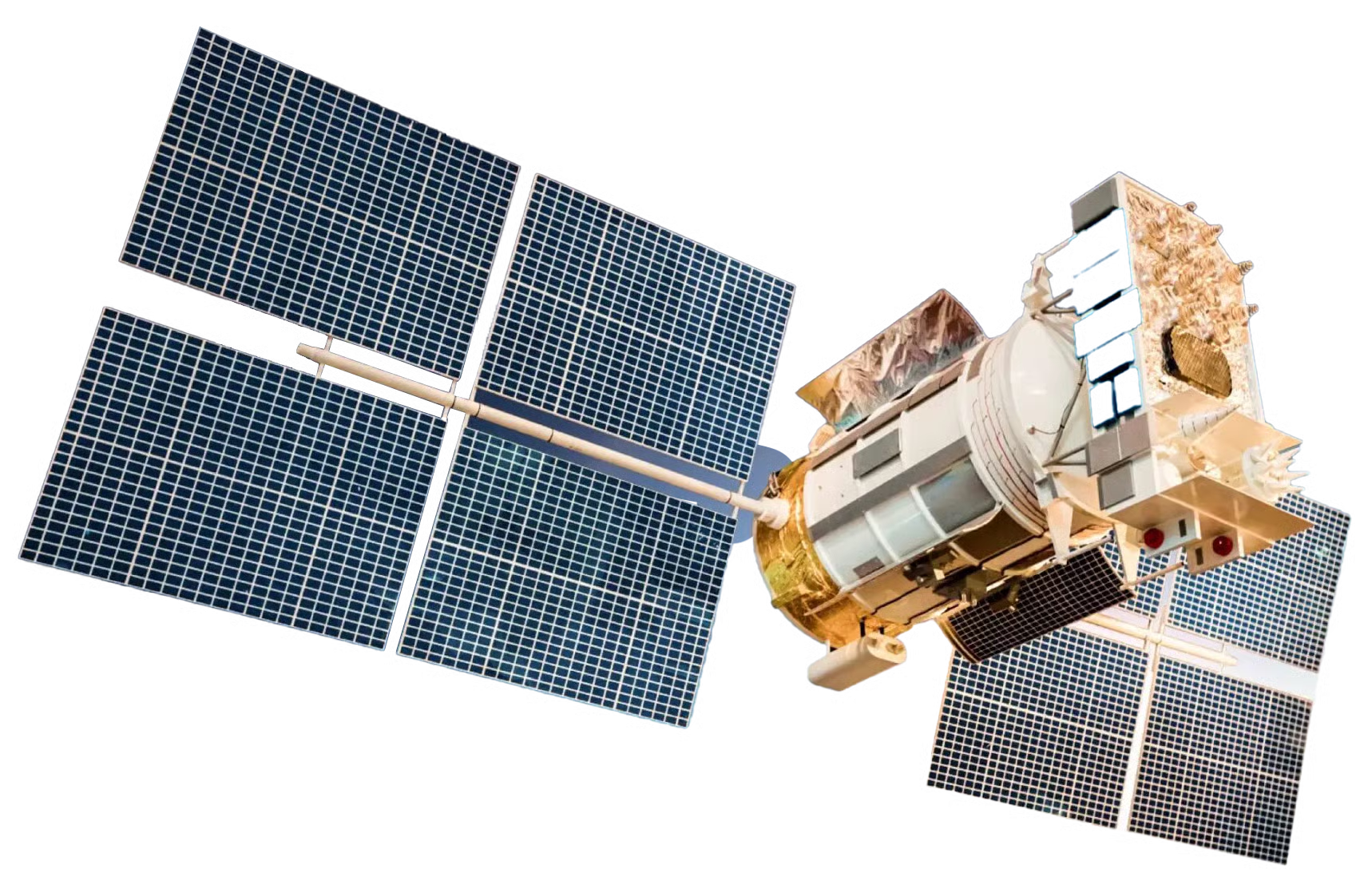
Satellite Array
Space
Advanced satellite constellation equipped with AMRT sensors orbiting Earth
Evolution from Nuclear Magnetic Resonance (NMR)
DETECTION CAPABILITIES
Comprehensive subsurface analysis across multiple industries and applications, providing unprecedented insight into Earth's hidden resources.
Hydrocarbon Detection
Up to 18,000 feet
Locate oil and gas deposits without drilling or seismic surveys
Applications:
Precious Metals
Up to 5,000 feet
Detect gold, silver, platinum, and rare earth elements
Applications:
Base Metals & Minerals
Up to 5,000 feet
Identify copper, lithium, iron ore, and industrial minerals
Applications:
Underground Voids
Up to 5,000 feet
Detect caves, tunnels, and archaeological sites
Applications:
Water Resources
Up to 3,000 feet
Locate underground aquifers and water tables
Applications:
Environmental Monitoring
Surface to 1,000 feet
Track contamination and environmental changes
Applications:
INDUSTRY APPLICATIONS
Oil & Gas Exploration
EnergyRevolutionary approach to hydrocarbon exploration without environmental disruption
Key Benefits:
Case Study:
Identified major oil reserve in Texas, saving $15M in traditional exploration costs
Survey Process:
PROVEN RESULTS
Our AMRT technology has been validated through rigorous drilling programs, third-party verification, and real-world applications across multiple industries.
Drilling Verification
Direct validation through drilling programs confirms our predictions with 93%+ accuracy rates across multiple geological formations.
Third-Party Validation
Independent geological firms and government agencies have verified our technology through blind studies and comparative analysis.
Historical Success
Featured on Discovery Channel's "Lost Gold of World War II" series, successfully locating historical treasure sites in the Philippines.
REQUEST A SATELLITE SURVEY
Ready to discover what lies beneath your property? Get a detailed subsurface analysis with our advanced AMRT technology. No environmental impact, maximum insight.